Maharashtra: MSRDC Plans GIS-Based Development Of 1,800 Sq Km Along Samruddhi Mahamarg, Covering 292 Villages
Mumbai, October 31, 2026: The Maharashtra State Road Development Corporation (MSRDC) is preparing to undertake a comprehensive land-use mapping and regional development planning exercise along the Nagpur–Mumbai Samruddhi Mahamarg, covering approximately 1,800 sq km and 292 villages spread across 10 districts. The exercise follows the Maharashtra government's decision to appoint MSRDC as the…
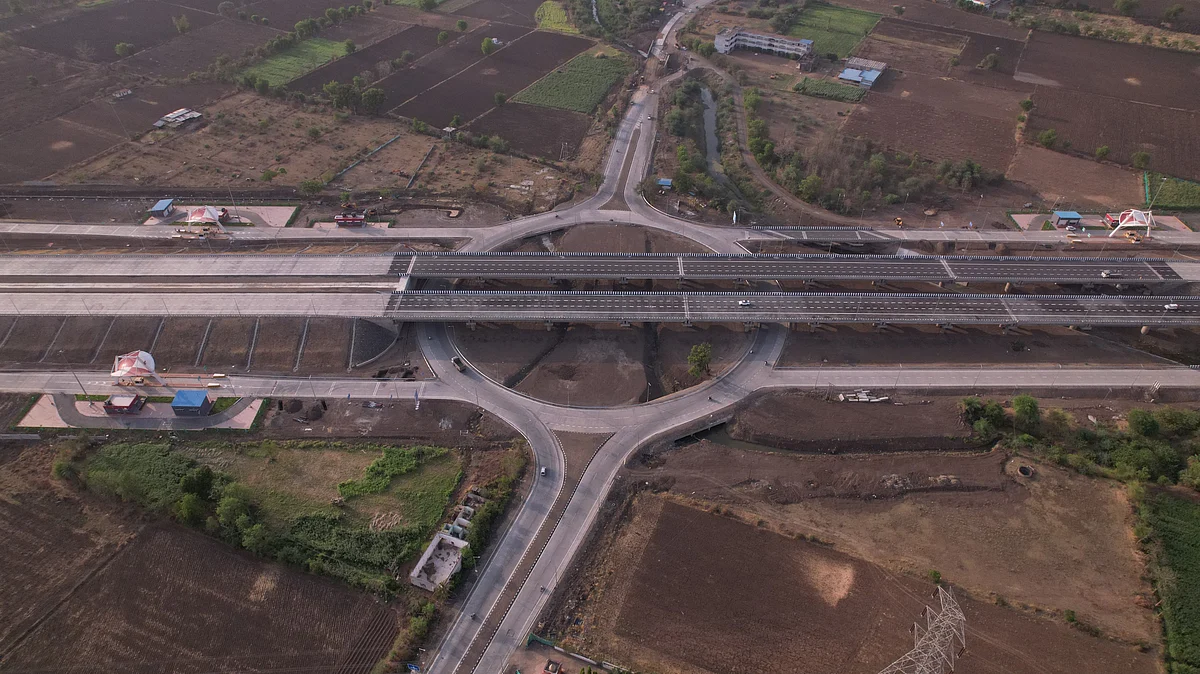
The Maharashtra State Road Development Corporation (MSRDC) is planning a GIS-based development exercise covering 1,800 sq km along the Nagpur–Mumbai Samruddhi Mahamarg, encompassing 292 villages in 10 districts. The initiative, appointed by the Maharashtra government as the Special Planning Authority and New Town Development Authority, aims to regulate land use, plan infrastructure, and guide the region's future growth through statutory Development Plans.
The consultant will undertake aerial surveys using LiDAR sensors, high-resolution cameras, and satellite imagery to create a comprehensive digital database of land parcels, building footprints, and various geographical features. The consultant will also prepare three alternative development plans, from which MSRDC will select one for the final Development Plan.
Brief written by urgent.news from Free Press Journal's own syndicated text. Machine-written — may contain errors; check the original before relying on it.