Why China’s new estimate on Greenland ice loss speed is 55% lower than America’s
Chinese researchers have created a new model to convert satellite surface elevation data for the Greenland Ice Sheet into a detailed estimate of how much ice it has lost in recent decades. Using satellite altimetry data covering 2002 to 2023, they found that the ice sheet lost an average of about 120 gigatonnes (264.5 trillion lbs) of mass per year. This figure is considerably lower than the…
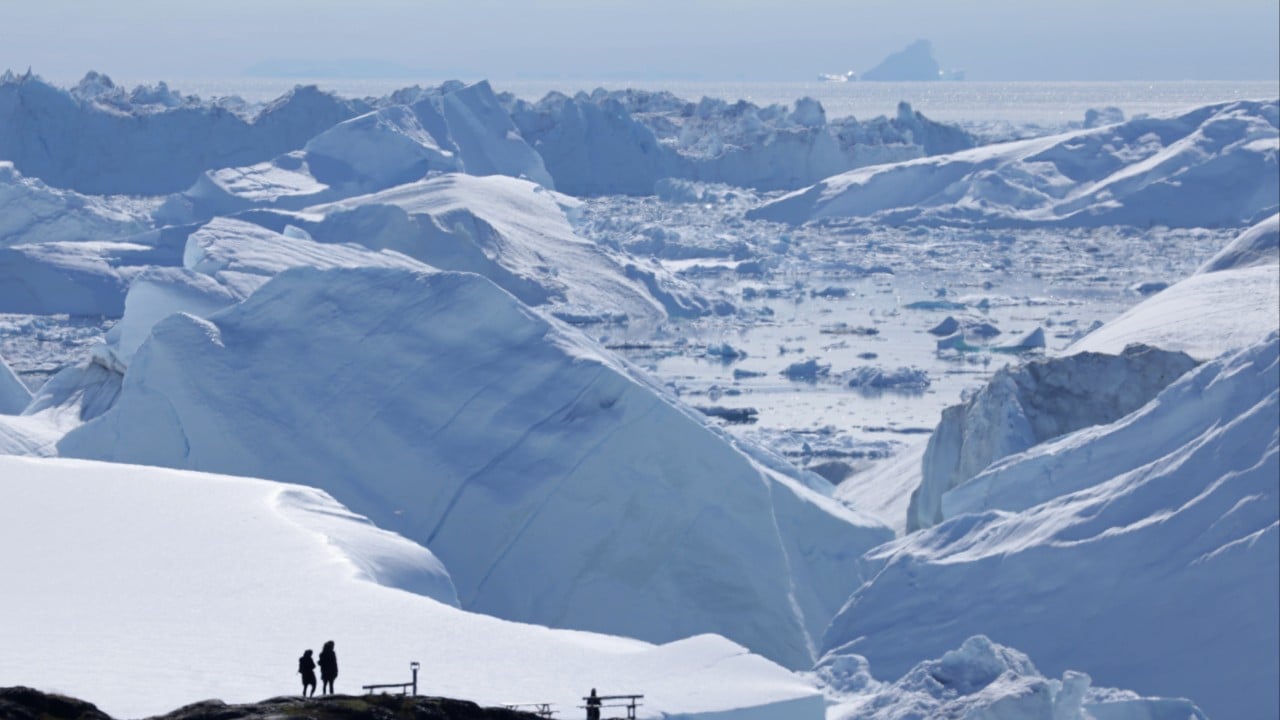
Chinese researchers have developed a new model to assess ice loss from Greenland's ice sheet using satellite elevation data. Their findings indicate that the ice sheet lost an average of about 120 gigatonnes of mass annually between 2002 and 2023. This is roughly 55% lower than NASA's estimate of 270 gigatonnes per year, which utilized satellite gravity data.
The researchers from Jiangsu Ocean University in China believe their study aims to refine elevation monitoring, providing a high-resolution map of where the loss is occurring. They found that satellite altimetry offers superior spatial resolution over satellite gravimetry, enabling the identification of ice-flow channels in local glaciers.
The Greenland Ice Sheet, covering 80% of the country's land area, contains approximately 2.9 million cubic kilometers of ice. Since the mid-1990s, the sheet has been losing significant mass, which affects sea levels, ocean circulation, and local ecosystems. The study highlights the importance of accurately estimating mass changes and their locations to understand the complex feedback between the polar ice sheet and the global climate system.
Written by urgent.news from Reuters Business via SCMP's reporting — not their text. Machine-written — may contain errors; check the original before relying on it.