Will your neighborhood flood during a hurricane? An expert explains how AI can predict vulnerable areas before extreme weather strikes
This former Google DeepMind product manager explains how spatial AI helps cities predict and prepare for extreme weather and infrastructure failures before disaster strikes.
AI's capacity to predict extreme weather has transitioned from an imagined concept to a tangible reality. Advanced systems like Google DeepMind's GraphCast, Huawei's Pangu-Weather, and ECMWF's AIFS have leveraged historical weather and atmospheric data to generate global forecasts swiftly and efficiently through pattern recognition.
Major organizations such as the National Oceanic and Atmospheric Administration (NOAA) and the European Centre for Medium-Range Weather Forecasts (ECMWF) have integrated AI weather systems to monitor large-scale environmental events. Moreover, spatial AI is making significant strides in helping US cities predict and prepare for floods, wildfires, and other urgent infrastructure failures before the disasters occur.
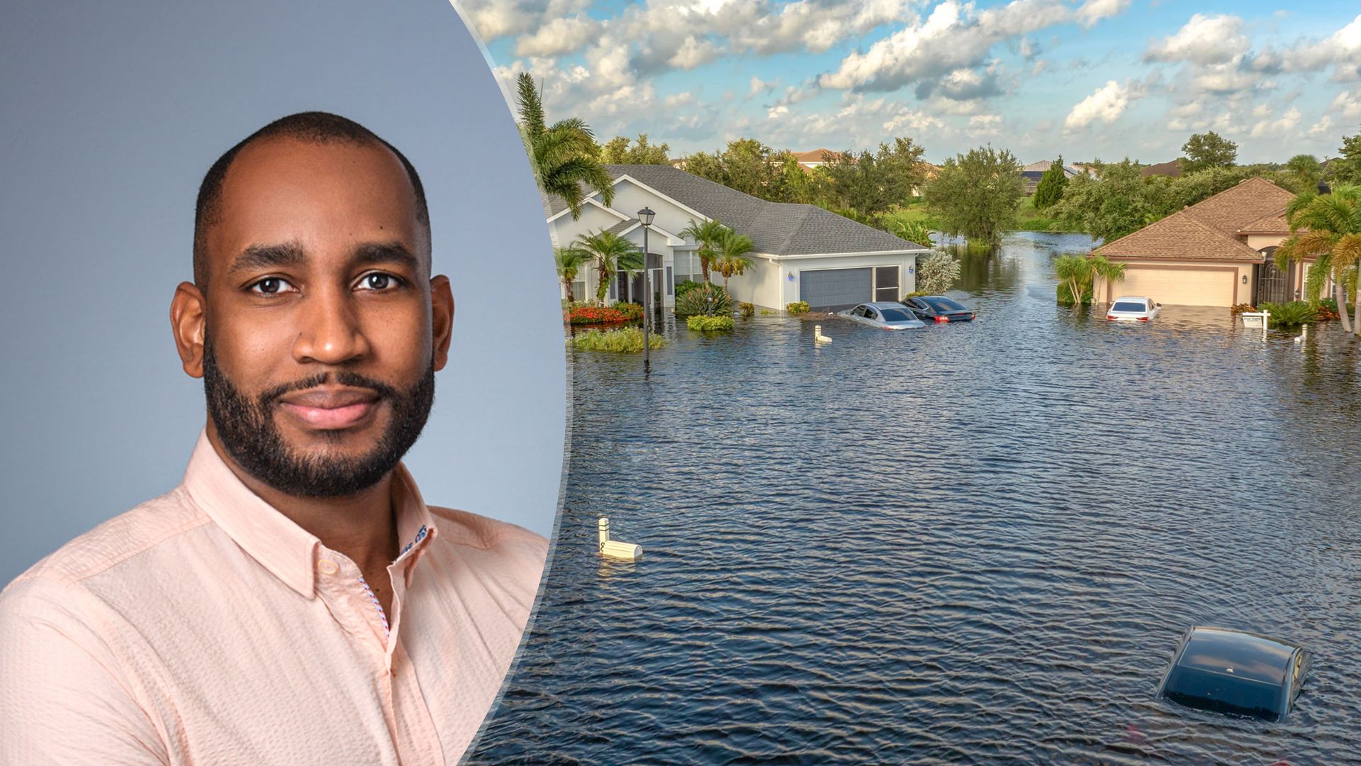
Hantz Févry, the CEO of Geolava, a technology laboratory specializing in AI models for the physical world, shed light on the workings of spatial AI and its potential to aid in predicting extreme weather events. He provided evidence of its effectiveness, specifically highlighting its assistance to the people of Florida during a major incident.
Spatial AI differs from existing AI tools used for predicting extreme weather in that it offers insights into how specific weather conditions will impact particular locations. While traditional forecasts inform us about the amount of rain that will fall over a city like Tampa, spatial AI can pinpoint which streets will flood, which drainage systems are already degraded, and where the first failures are likely to occur.
To illustrate how Geolava's spatial AI can help a city anticipate a flood, wildfire, or infrastructure failure, Févry shared an example involving the Florida Department of Transportation. The team was able to forecast flood risk on road assets with an impressive 87% accuracy using their platform, Terra. Terra continuously monitors assets such as roads, sidewalks, drainage systems, and vegetation, scoring their condition, tracking their degradation rate, and forecasting potential outcomes if current conditions persist.
This technology identifies slow, compounding changes that human teams can't track across vast areas, such as a culvert gradually silting up, pavement beginning to subside, or vegetation creeping into a right-of-way.
Although no model is perfect, and accuracy can be compromised if a model gets it wrong, Geolava addresses this issue by reissuing forecasts every time new observations are obtained. This approach functions similarly to weather forecasts that update as a storm evolves, ensuring that errors are corrected rather than locked in. Engineers and city staff make the final decisions, and each forecast includes a time range and supporting evidence.
One of the key challenges that spatial AI faces is working effectively in cities with aging infrastructure, incomplete records, and limited budgets. Févry explained that Terra was designed with this in mind, relying primarily on imagery and observation (aerial, satellite, and street-level data) rather than an ideal asset database.
Bad records have often served as their starting point rather than a barrier. The decreasing cost of observing the physical world makes this feasible for cities with constrained budgets, as they do not need to construct their own sensor networks. However, Févry acknowledged that the digital divide poses a real concern, and it is the responsibility of both the digital divide and public-sector partners to ensure that smaller and less-resourced communities are not left behind.
Févry's experience working as a product manager at Google DeepMind taught him the importance of trust in real-world AI applications. While demos showcase the best-case scenarios, long-term trust comes from how a system performs in the worst-case situations and its honest communication of uncertainty. The greatest lesson he gleaned was that ground truth is the foundation of trust. Regular validation against actual outcomes is essential to ensure the reliability of AI-powered weather forecasting systems.
Written by urgent.news from Tom's Guide's reporting — not their text. Machine-written — may contain errors; check the original before relying on it.