Storms set to bring flash flooding, large hail to south-east Queensland
Storms are forecast across Brisbane, Gold Coast and Sunshine Coast this morning with another round possible in the afternoon and early evening.
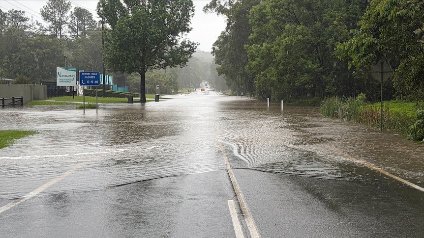
South-east Queensland is bracing for severe weather in the form of flash flooding, large hail, and wind gusts reaching up to 90 kilometres per hour. Two rounds of storms are expected on Monday, with multiple warnings in place, including major flooding for the Mary River in the Gympie region. Bureau of Meteorology senior meteorologist Felim Hanniffy warned of the risk of severe storms across Brisbane, Gold Coast, and Sunshine Coast during the morning rush, with a potential second round in the afternoon and early evening.
The first round of storms could lessen the severity risk for some areas later in the day. Severe thunderstorms are anticipated in inland locations such as the Lockyer Valley, Scenic Rim, and South Burnett on Monday. The recent heavy rainfall, with more than 200 millimetres accumulated in some areas within six hours, could exacerbate the risk of flash flooding.
The stagnant humid air mass that has dominated the region for over a week is believed to be responsible for the heightened storm risk, which may subside in parts of the south-east over the following days. However, there remains some uncertainty about whether the storms will recur later in the week. Brisbane, the Gold Coast, and the Sunshine Coast are expected to experience improved conditions by Tuesday, but parts of south-east Queensland, particularly inland areas like Wide Bay-Burnett, are likely to retain the severe storm risk into Tuesday.
Written by urgent.news from ABC News AU's reporting — not their text. Machine-written — may contain errors; check the original before relying on it.
Also reported by 2 other outlets
- South-east Queensland braces for more heavy storms theage.com.au
- South-east Queensland braces for more heavy storms smh.com.au