Loke: Local Developers Encouraged To Build Navigation Apps Using Open Transport Data
Transport Minister Anthony Loke has encouraged local developers to use publicly available transport data to build navigation applications, following the government’s ban on civil servants using Waze for official duties. Speaking after launching Phase Three of the Masjid Jamek LRT station upgrading project in Kuala Lumpur yesterday, Loke said the Transport Ministry had adopted an […] The post…
Transport Minister Anthony Loke has urged local developers to utilize publicly accessible transport data for creating navigation applications, in response to the government's prohibition of civil servants using Waze for official purposes. During the inauguration of Phase Three of the Masjid Jamek LRT station upgrade in Kuala Lumpur, Loke highlighted the open-data policy adopted by the Transport Ministry several years ago to foster navigation app development that enhances public transport accessibility.
"Transport data has been open for several years," Loke stated, following inquiries about the ministry's support for local navigation app ecosystem. Prasarana Malaysia provides various public transport data, including ridership statistics, train frequencies, and timetables. However, responsibility for road-related information lies with the Malaysian Highway Authority (MHA), the Works Ministry, and the Public Works Department (JKR).
The government's renewed focus on local navigation apps stems from Prime Minister Anwar Ibrahim's endorsement of TuJu, a locally developed app, as an alternative to Waze due to security concerns over Israeli laws. The government has also prohibited civil servants from using Waze for official duties, although the restriction does not extend to general public use.
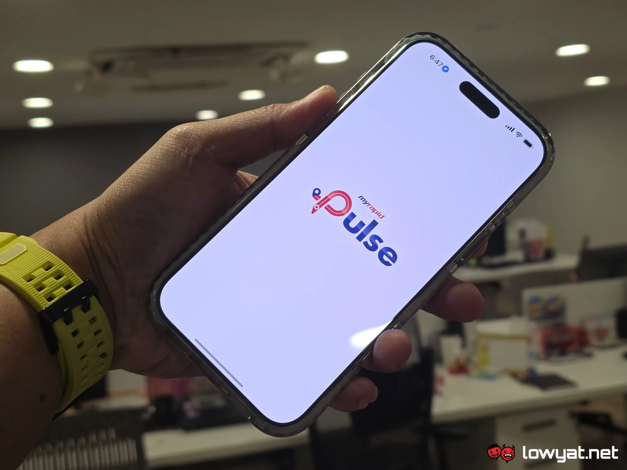
Digital Minister Gobind Singh Deo has expressed the government's intention to collaborate with local navigation platforms like TuJu and Pintaz to enhance their services, including expanding TuJu's coverage beyond highways to include general road traffic information. For public transport, local apps such as MyRapid PULSE, GoKL, Smart Selangor SITS, Zupp, and Moovit offer helpful services.
However, for broader navigation, Malaysians can rely on non-local options such as Google Maps, Apple Maps, HERE WeGo, Sygic, and Petal Maps. Local developers are encouraged to improve their apps by focusing on accuracy, real-time traffic updates, and system reliability, as reported by a recent Bernama article which emphasized the need for comprehensive location databases and measurable progress against established navigation platforms.
Written by urgent.news from Lowyat.NET's reporting — not their text. Machine-written — may contain errors; check the original before relying on it.