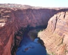
Underwater mountains, canyons hold secrets of Malaysia's seas
PORT KLANG: Beneath Malaysia’s vast maritime waters lies a dramatic landscape of underwater mountains, ridges, valleys and canyons, much of which remains unmapped to modern hydrographic standards.
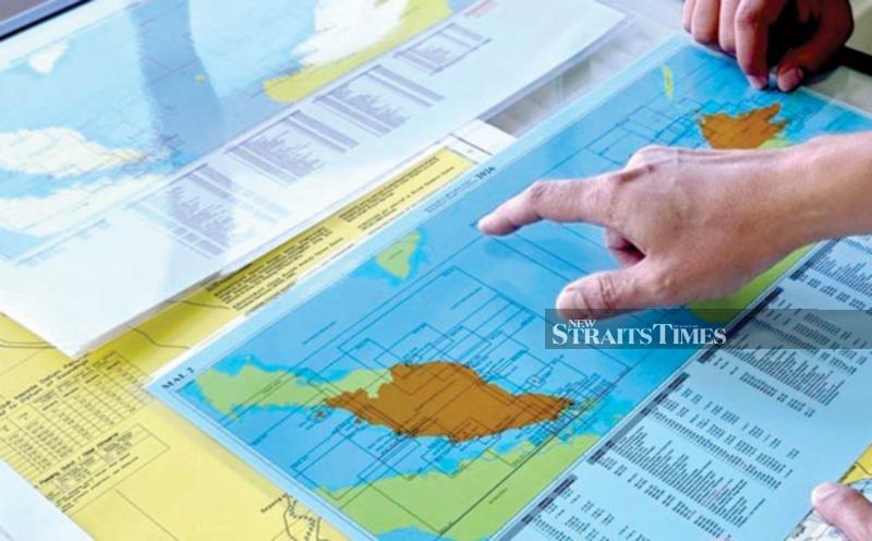
Malaysia's vast maritime domain is home to a dramatic underwater landscape of mountains, ridges, valleys, and canyons that have largely remained unmapped to modern hydrographic standards. National Hydrographic Centre (NHC) director-general Rear Admiral Dr Najhan Md Said emphasized the importance of understanding this hidden terrain for safe navigation, maritime security, and asserting sovereignty.
The International Hydrographic Organisation's Sub-Committee on Undersea Feature Names is responsible for establishing internationally consistent nomenclature and naming guidelines for undersea features, ensuring uniformity across nautical charts, bathymetric maps, and scientific publications worldwide. So far, Malaysia has secured official recognition for 17 undersea feature names, most of them in the bathymetrically rich waters off Sabah and Sarawak.
These include prominent features such as the Santubong Seamount, Kenyalang Hill, and Rafflesia Hill, which rise to varying heights above the ocean floor, despite being situated thousands of meters below the surface. These underwater features not only contribute to Malaysia's national identity and heritage but also aid in preserving its cultural legacy on global maps and scientific records.
Brief written by urgent.news from New Straits Times's own syndicated text. Machine-written — may contain errors; check the original before relying on it.
This story
This is one outlet's version. Read the fullest account.
- Discover ancient secrets hidden in Malaysia’s limestone landscapes freemalaysiatoday.com