WATCH: What NOAA’s 'hurricane hunters' can see inside Hurricane Isaias
NOAA engineers can fly into hurricanes to gather data satellites can’t capture, helping scientists track a storm’s strength and improve forecasts.
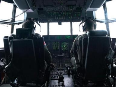
Hurricane Isaias, the first hurricane of the Atlantic season, has reached Category 3 strength with 120 mph sustained winds. According to ABC News, NOAA engineers are flying into the hurricane to gather data that satellites can't capture, which helps scientists track the storm's strength and improve forecasts.
The storm is forecast to make landfall on the northern Gulf Coast, with Yahoo Sports reporting it is expected to come ashore between Pensacola and Destin, Florida, from 9 p.m. to midnight ET. After landfall, Isaias is expected to weaken to a tropical storm over Alabama. Global News reports that although the storm is forecast to miss the biggest hubs along the Gulf Coast, it could still impact fuel prices if it triggers power outages that shut down refineries.
The remnants of the storm are expected to affect several NFL games on Sunday, with Yahoo Sports reporting a 99% chance of rain for the game between the Cleveland Browns and New York Jets at MetLife Stadium. Hellenic Shipping News reports that the National Oceanic and Atmospheric Administration expects the storm to create significant disruptions to energy infrastructure. CBS News reports that Hurricane Isaias is now a Category 3 storm and is hours away from slamming the U.S.
Brief written by urgent.news from ABC News (US), Global News, Yahoo Sports, Hellenic Shipping News, CBS News — 5 reports on this story. Machine-written — may contain errors; check the original before relying on it.