UP Plans 100% House Mapping, Land Geotagging Using Space Technology; Experts Push AI-Based Solutions In Lucknow
Lucknow, October 9: The two-day Space Applications Adoption Workshop, organized by the Remote Sensing Applications Center, Uttar Pradesh, in collaboration with IN-SPACe under the Department of Space, Government of India, and the Department of Urban Development, concluded successfully today. The event, held at the Roopam Auditorium, brought together experts from the Department of Space, Government…
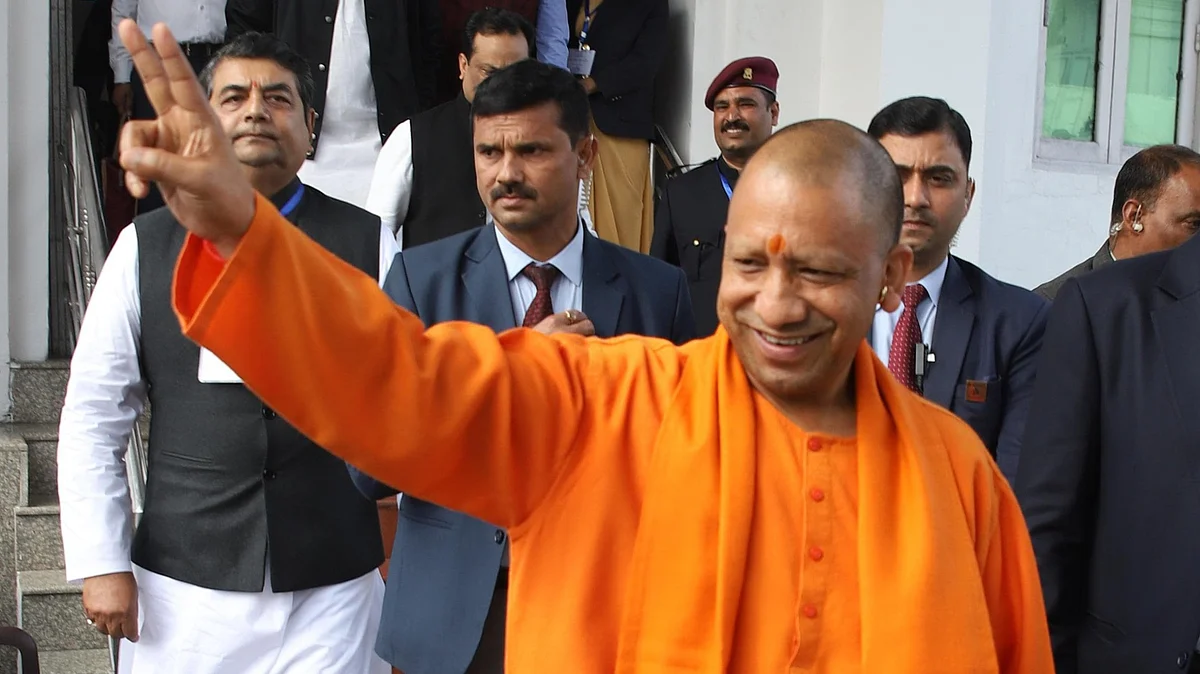
Lucknow witnessed the conclusion of a two-day Space Applications Adoption Workshop on October 9, a collaborative effort between the Remote Sensing Applications Center (RSAC) of Uttar Pradesh, IN-SPACe under the Department of Space, and the Department of Urban Development. The gathering aimed to strengthen state infrastructure and governance through modern space technology.
The event underscored the importance of utilizing space technology to enhance agricultural productivity, optimize irrigation, and bolster disaster preparedness in Uttar Pradesh. Chief Secretary S.P. Goyal emphasized the necessity of geotagging all land parcels to resolve land disputes and facilitate accurate tax assessments for houses, enabling the Department of Urban Development to allocate resources more effectively.
The workshop also called for the adoption of 100% house mapping through space applications, which would enable the Department of Urban Development to bolster its resources. Experts from various sectors provided insights into the practical implementation of satellite-based technologies in agriculture, forestry, water resources, urban planning, infrastructure, and disaster management.
The Department of Science and Technology of Uttar Pradesh played a pivotal role in the success of the workshop, conceptualizing and implementing it while leveraging RSAC's expertise in applying satellite technologies. Scientists presented on mineral resources, water management, disaster preparedness, urban development, and the PM Gati Shakti National Master Plan, highlighting the potential of these technologies for state development.
Over 50 state government departments and districts, alongside 22 industry partners and 75 private firms, participated in the workshop. The concluding round-table discussion focused on addressing specific challenges faced by various departments through cutting-edge technological solutions. The workshop marked a significant stride towards good governance, increased productivity, and sustainable development in Uttar Pradesh.
Written by urgent.news from Free Press Journal's reporting — not their text. Machine-written — may contain errors; check the original before relying on it.