Serco lancia la piattaforma per elaborare dati satellitari per Pa e imprese
Serco ha lanciato NadirEO, una piattaforma che trasforma i dati di osservazione della Terra in analisi pronte all’uso per imprese e amministrazioni. Presentata alla prima edizione di Bex-Beyond Exploration Expo,...
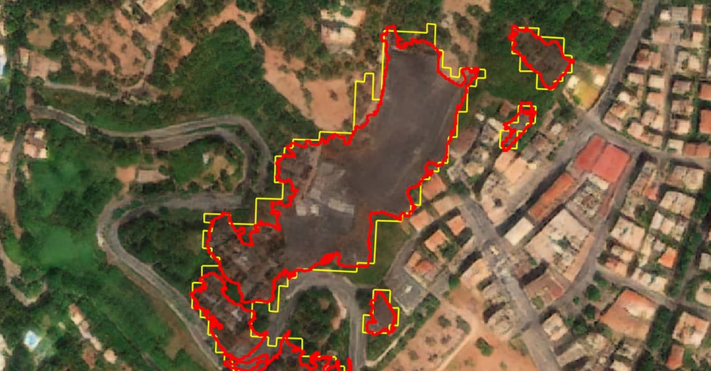
Serco has introduced NadirEO, a platform that converts satellite Earth observation data into ready-to-use analyses for businesses and administrations. Launched at the first edition of Bex-Beyond Exploration Expo, NadirEO debuts with 18 services provided by a partner ecosystem, including Geoskop and Italian companies Titan4 and Gisky, and primarily focuses on four sectors: energy, insurance, infrastructure, and agriculture.
The Serco group, employing over 50,000 people worldwide and more than 6,000 in ten European countries, including Italy, has been working on space programs for the continent for over forty years. With NadirEO, the company aims to sell its experience to businesses as a service, leveraging its expertise. The concept is simple: instead of purchasing satellite images and hiring teams to process them, users can access a catalog of pre-processed answers.
Examples of use cases mentioned by Serco highlight applications such as determining a facility's exposure to fires or assessing the risk of wildfires in a specific area. Serco's managing director for Space Europe and CEO of Serco Italy, Roberto Mulatti, explains that NadirEO offers a middle ground between relying on a single provider with potential limitations or commissioning a customized system with higher costs and longer implementation times.
The platform combines public and commercial satellite data, aerial vehicles, drones, and ground sensors with the company's archive, employing natural language processing through AI to return results with traceability of sources. The cost is a concern for businesses, with pay-as-you-go pricing and additional charges for customizations.
Pricing depends on the service and the area covered; updating a natural disaster risk analysis for assets and infrastructure in a region of over 10,000 square kilometers costs around 12,000 euros. A first analysis takes from a few hours to several days, depending on the complexity. NadirEO reflects a broader transformation: Earth observation data is no longer limited to specialists but becomes a tool to support daily activities of businesses and organizations.
"NadirEO exists to bridge this gap," Mulatti concludes, "bringing the value of satellite data into operational processes and contributing to making space a tool for real economic benefit." Serco aims to extend its work with space agencies to the market, offering pre-processed answers in a catalog.
Written by urgent.news from Il Sole 24 Ore's reporting — not their text. Machine-written — may contain errors; check the original before relying on it.