Segundo día del temporal de lluvias torrenciales: Tarragona supera los 250 litros y Castellón los 170
Esta tarde continuará la probabilidad de tormentas y chubascos muy fuertes en los litorales del sur de Cataluña, de la Comunidad Valenciana, en toda Murcia, Almería, Ibiza y Formentera
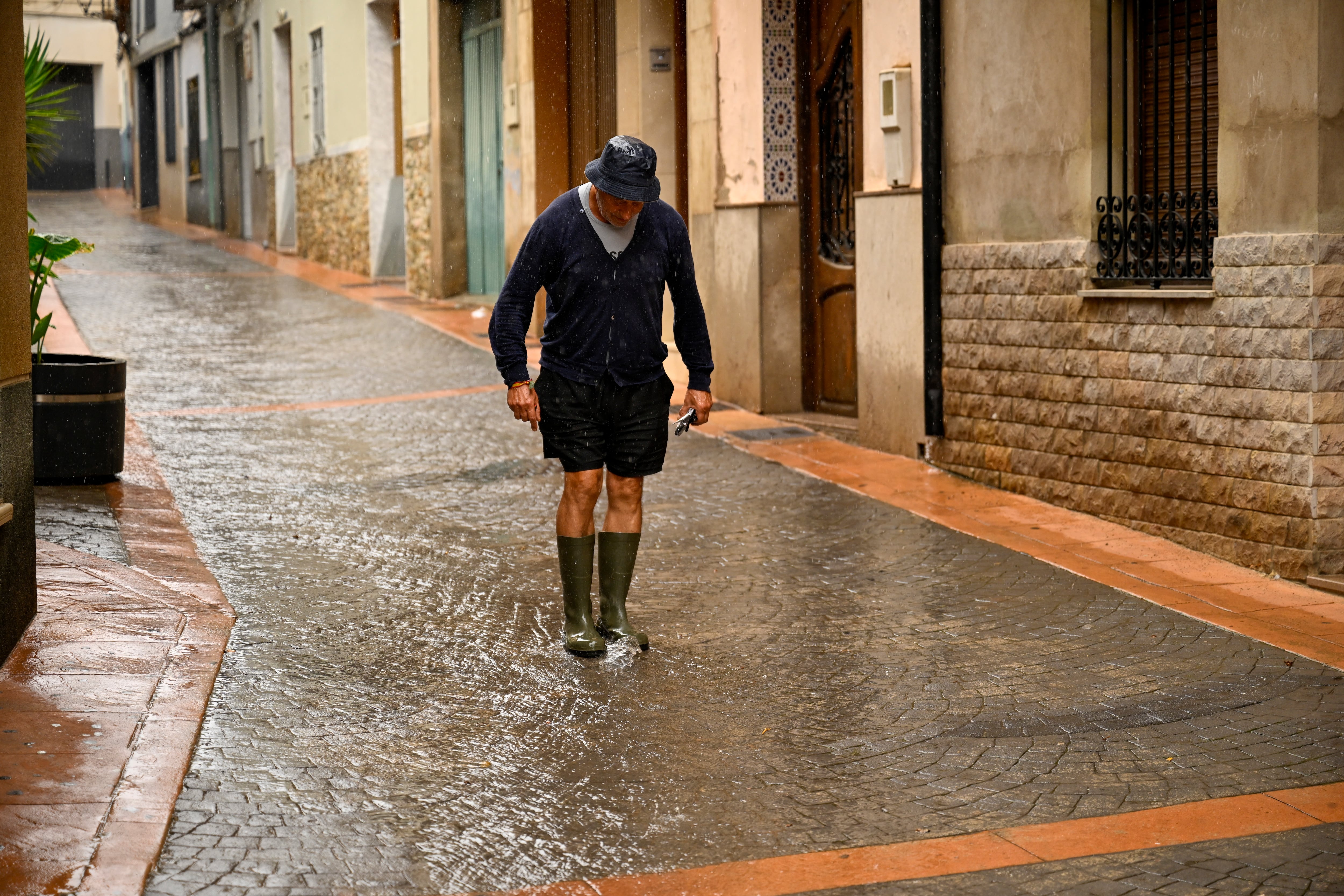
Spain anticipates the second day of intense torrential rain and storms, which will continue until Wednesday, but the most severe phase has already passed. By midday, the State Meteorological Agency (Aemet) lifted the final red warnings affecting southern Tarragona and the coastal areas of Castellón. Accumulations of up to 250 liters of water per square meter have been recorded in some parts of Tarragona since Thursday, and 170 liters in Castellón.
According to Rubén del Campo, a spokesperson for Aemet, strong storms and heavy showers are expected to persist in the evenings in the coastal regions of southern Catalonia, Valencia, Murcia, Almería, Ibiza, and Formentera, all under an orange alert. The most surprising aspect of this phase of the event, according to experts, is the absence of a major weather system causing such violent and persistent rainfall.
Firstly, the source of instability was an Atlantic frontal system, and a weak wave was moving across the Peninsula. These elements alone, however, cannot explain the extraordinary amounts of precipitation, explains veteran meteorologist Ángel Rivera. The Aemet also attributes the key factor to the high humidity available in low layers over the Mediterranean due to the summer's high temperatures.
Additionally, many areas of the western Mediterranean are experiencing water temperatures above 26°C, which is higher than normal for this time of year by up to 4°C. Warm water contributes to greater instability by creating a temperature contrast between the cold layers in the upper atmosphere and the moist surface water. This moisture-rich atmosphere provides additional fuel for the storms.
Meteorologist Benito Fuentes notes that this Mediterranean warming is 100 times more likely in a world with climate change, and thus the ultimate cause of this event is global warming. Fuentes also emphasizes the absence of a cyclone, which has become a common scapegoat for torrential rains. Extreme precipitation events are not always associated with a cyclone.
In this case, the high-pressure system, which created a maritime flow in low layers, was aided by low pressures in North Africa and other contributing factors, according to X.
Written by urgent.news from El Pais's reporting — not their text. Machine-written — may contain errors; check the original before relying on it.