Anak Krakatau’s eruption begins a new soil story
Satellite imagery reveals a dramatic shift on Sertung Island following Anak Krakatau’s eruption. As lush greenery turns to ash, a new natural laboratory emerges for studying the birth of soil.
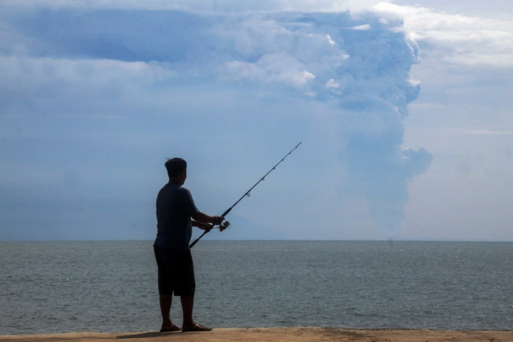
Satellite images captured the dramatic shift on Sertung Island following the eruption of the Anak Krakatau volcano. Previously lush and green, the island transformed into a landscape of grey and brown ash within just a month. Researchers are left with numerous questions about the fate of the plants and the newly formed volcanic material.
Soil scientists will need to examine the land firsthand to determine if the plants are dead or merely covered in ash. Using satellite data, they can analyze vegetation, moisture levels, soil composition, and volcanic deposits to better understand the transformation. The Normalized Difference Vegetation Index (NDVI) reveals a significant drop in plant health after the eruption, but it does not definitively indicate plant death.
Shortwave infrared wavelengths and moisture indices provide additional insights into the surface changes. Comparing Sertung Island to nearby Panjang Island, which suffered less damage, offers valuable information about how wind patterns and ashfall affect ecosystem survival. Once the surface changes are observed, laboratory testing of the volcanic material can reveal its composition and influence the subsequent development of new soils.
Krakatau's ability to document this process provides a unique opportunity to study the progression from volcanic debris to fully-developed soils.
Written by urgent.news from The Jakarta Post's reporting — not their text. Machine-written — may contain errors; check the original before relying on it.