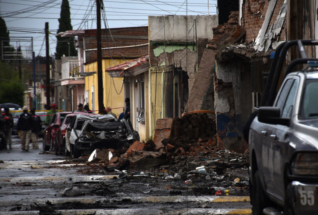
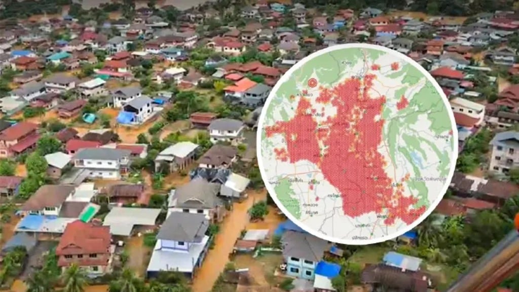
GISTDA Satellite Images Map Thailand’s Flood Risk
Last Updated on September 26, 2026 by Jeff Tomas BANGKOK – Thailand is currently facing a serious threat from rising floodwaters following several weeks of continuous heavy rain. On September 25, 2026, the Geo-Informatics and Space Technology Development Agency (GISTDA) released startling new satellite images. These detailed maps show widespread high-risk flood zones stretching across […] The…
We haven't written up this one. Chiang Rai Times has the full story — the link below goes straight to it.