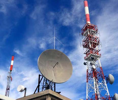
Firefighting from the sky: UAE firm starts high-altitude monitoring mission in Spain
A solar-powered aircraft operated by a UAE space technology company has launched a wildfire-monitoring mission in Spain, transmitting live images during a 29-hour flight over the Canary Islands. The ApusNeo18 high-altitude platform took off from the Canarias Stratoport on Fuerteventura, an airfield for pseudo-satellites, and reached a height of 16,000 feet (4,875 metres) during the first flight…
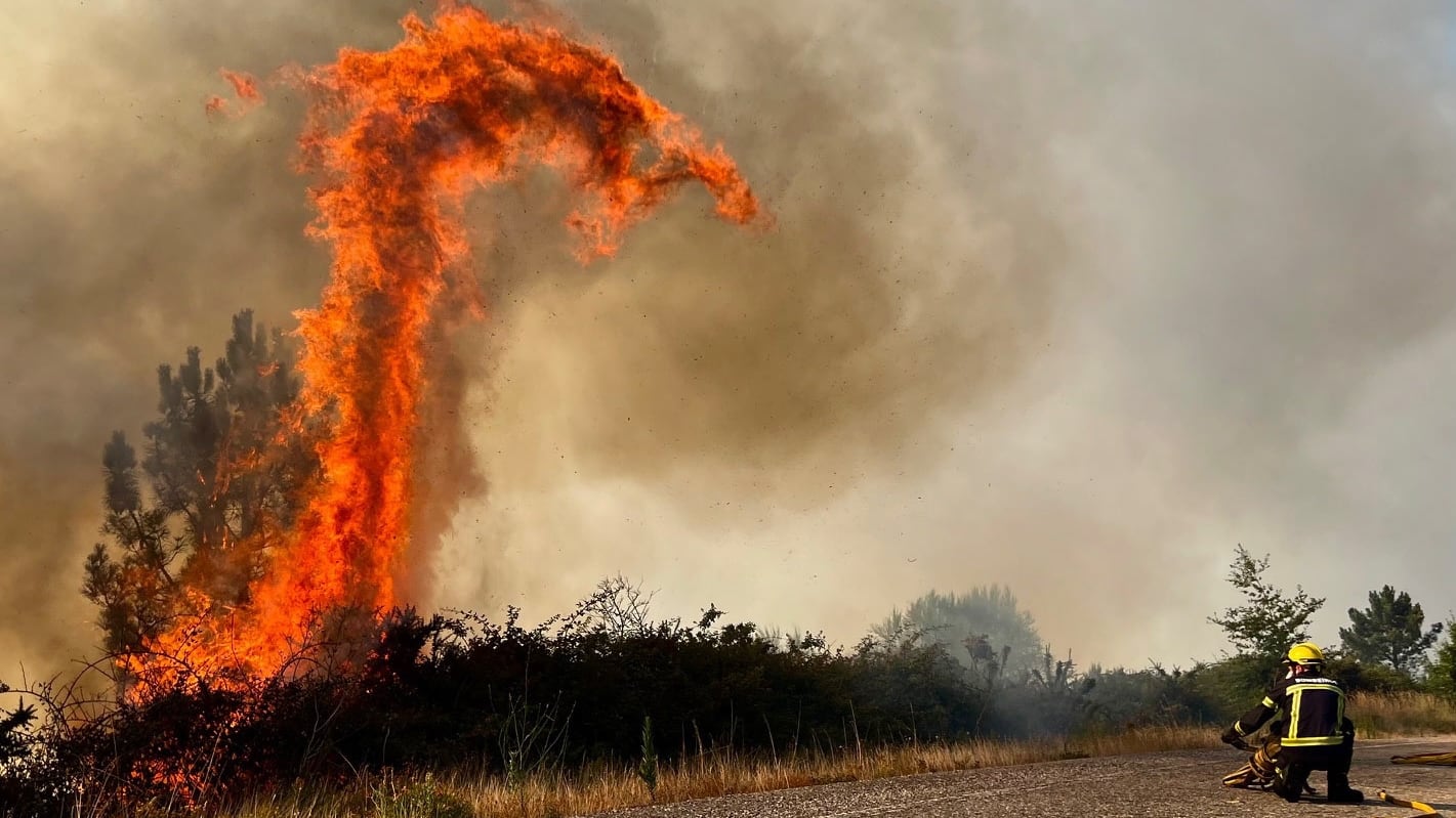
A UAE space technology firm has initiated a wildfire-monitoring mission using a solar-powered aircraft in Spain. The ApusNeo18 high-altitude platform embarked from Canarias Stratoport on Fuerteventura, an airfield for pseudo-satellites, and ascended to an altitude of 16,000 feet during the initial 29-hour flight over the Canary Islands.
Equipped with electro-optical and infrared sensors, the aircraft transmitted live, high-resolution images and video to help authorities identify and track fire spread. Mira Aerospace, a subsidiary of Abu Dhabi-based Space 42, claimed the flight set two European records for high-altitude platform systems: duration in the air and highest altitude.
Additional flights are scheduled next month in collaboration with Telespazio Iberica, with the aircraft ultimately aiming to soar higher and farther, eventually targeting Gran Canaria. This initiative follows a severe wildfire season in Spain, during which over 265,000 hectares of forest were destroyed as of August 17, with 42 significant forest fires reported.
High-altitude platform systems operate as a hybrid of conventional aircraft and satellites, capable of enduring prolonged flights at elevated altitudes, carrying specialized sensors tailored to specific missions. These systems can offer continuous surveillance and provide real-time data to support emergency services, complementing data collected by satellites, aircraft, and ground personnel.
Khaled Al Marzooqi, Mira Aerospace's CEO, emphasized the mission's significance in demonstrating the company's capacity to back major international initiatives, stating that the ongoing operation marks ApusNeo18's transition to sustained deployment, blending persistent monitoring with real-time data transmission to Telespazio Iberica.
Carlos Fernandez de la Pena, Telespazio Iberica's CEO, highlighted that the flights signify the advancement of Hap technology from experimental stages to practical applications, enhancing Europe's capabilities in wildfire prevention, surveillance, and emergency response. In June, three advanced UAE satellites designed to enhance disaster response and combat climate change became fully operational.
Named Foresight-3, Foresight-4, and Foresight-5, these satellites employ sophisticated radar technology to capture high-resolution images of Earth's surface under any conditions, day or night. Launched in November 2025 by Space42, an Abu Dhabi-based company, aboard a SpaceX rocket from Cape Canaveral, Florida, these satellites expanded Space42's Foresight Earth Observation constellation to five synthetic aperture radar satellites.
Written by urgent.news from The National Business's reporting — not their text. Machine-written — may contain errors; check the original before relying on it.
This story
This is one outlet's version. Read the fullest account.