Drones reveal the contradictions of township life
Drone footage can make South Africa’s townships appear nostalgic and picturesque from above, but beneath the striking aerial views lie communities shaped by apartheid spatial planning, overcrowding, poor infrastructure, limited privacy and persistent social challenges.
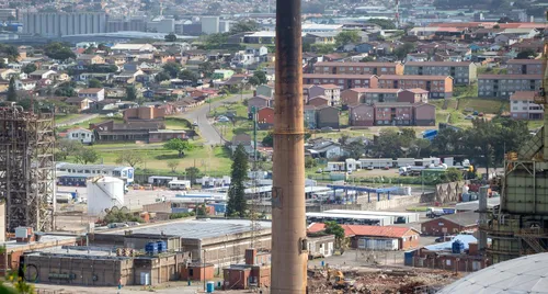
Drone technology has revolutionized how we perceive our cities, communities, and landscapes, granting us an aerial perspective once exclusive to aircraft or helicopters. However, recent drone footage captured in South Africa’s townships has evoked conflicting emotions within me. From above, the closely packed streets and rooftops exude a certain charm—a nostalgic allure as generations of black, coloured, and Indian South Africans have called these places home.
Yet, upon closer examination, a contrasting narrative emerges. Many of these communities were deliberately segregated during apartheid, designed to confine racial groups into specific areas, often distant from economic prospects and lacking essential infrastructure typical of well-planned cities.
Delving deeper than the aerial images reveals a different reality. Narrow, overcrowded streets strain infrastructure and deteriorate over time. Public spaces are scarce, while drug abuse and gun violence have become pervasive in certain communities. Unemployment and poverty further compound the challenges faced by residents. Consequently, the enchanting images from the sky may not fully capture the struggles endured by those residing beneath the same rooftops. The drone’s bird’s-eye view inadvertently conceals the harsh truths faced by township dwellers.
This dichotomy is particularly evident in densely populated areas like Lamontville, Wentworth, or Phoenix, where private space is limited. Neighbors often live in close proximity, and children grow up surrounded by multiple households, experiencing daily life within the sight and hearing of others. While this proximity can foster a sense of community and solidarity, it can also strain tolerance, testing the limits of coexistence.
From hundreds of meters above, the streets form harmonious patterns, rooftops create intricate mosaics, and familiar landmarks appear almost idyllic. However, the idyllic facade conceals the unsightly realities of communities that have endured generations of survival in environments designed for mere survival, not prosperity.
While drones unquestionably serve a valuable purpose in documenting communities, exposing infrastructure shortcomings, and narrating stories from unprecedented perspectives, it is crucial to reevaluate how we perceive their images. When we encounter the picturesque aerial view of a township, we must simultaneously acknowledge the historical context, the inhabitants within those dwellings, and the living conditions on the streets below.
Written by urgent.news from IOL's reporting — not their text. Machine-written — may contain errors; check the original before relying on it.