Abang Johari: Sarawak mineral resources must be developed responsibly
KUCHING: Decisions on developing mineral resources, particularly rare earth elements, must be supported by scientific data, accurate mapping, environmental assessments and clear governance, said Sarawak Premier Tan Sri Abang Johari Abang Openg.
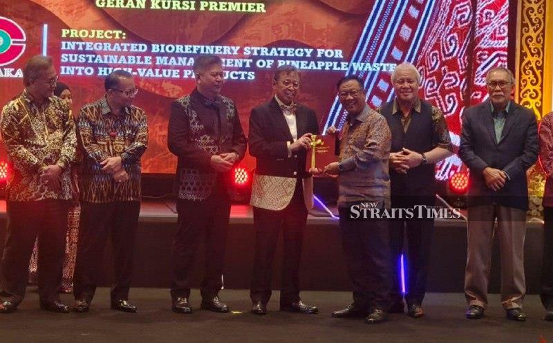
Sarawak Premier Abang Johari emphasized the importance of developing mineral resources responsibly, emphasizing the need for scientific data, accurate mapping, environmental assessments, and clear governance. He stated that decisions cannot be based solely on assumptions. To ensure responsible development, the Sarawak government has strengthened the Land and Survey Department's enforcement and mineral functions, renaming it the Enforcement and Minerals Branch this year.
This reflects the department's growing role in managing and regulating the state's mineral resources. Abang Johari stressed the importance of knowing the exact resources available, their locations, value, and associated risks to ensure responsible development. He outlined three key principles for mineral resource development: knowledge, governance, and sustainability.
To enhance decision-making, the surveying function needs to evolve from producing maps and coordinates to providing geospatial intelligence. The implementation of the Sarawak Geocentric Datum 2020 (SGeD20) and the development of the SGeDNet network have laid the foundation for a modern cadastral surveying system that aligns with Global Navigation Satellite System (GNSS) technology advancements.
Sarawak is also exploring the use of nanosatellites and CubeSats to support mapping, monitoring, and development planning. By integrating various data sources like satellite, drone, GNSS, digital cadastral, and GIS data, a more comprehensive geospatial data ecosystem will be created for government use. Abang Johari stressed that Sarawak's geospatial data should become a trusted source of truth, no longer fragmented across agencies but shared under robust data governance and security frameworks.
Regarding Native Customary Rights (NCR) land, the Sarawak government remains committed to expediting surveying work and issuing titles to eligible landowners. As of August 31, over 1.25 million hectares of NCR land had been surveyed under the New Initiative NCR Land Survey Programme, a significant achievement. However, Abang Johari stressed that this should not be viewed merely as a figure, but as a meaningful endeavor impacting families, history, income sources, and future generations.
He emphasized that the next phase of work must be carried out comprehensively, from identifying areas, surveying and verifying boundaries to documentation, registration, and title issuance, while ensuring the continued involvement of landowners, communities, and stakeholders.
Written by urgent.news from New Straits Times's reporting — not their text. Machine-written — may contain errors; check the original before relying on it.