Charcha time: Does The World Map Need Decolonising?
For centuries, the Mercator map shaped global perception, inflating former colonial powers while shrinking Africa, Asia and Latin America, a distortion critics tie to the lingering colonial-era hierarchies. As geopolitical awareness grows online, debate now questions whether classrooms should adopt fairer alternatives like the Equal Earth projection. Satya Tirtharaj Ghosal moderates a debate.…
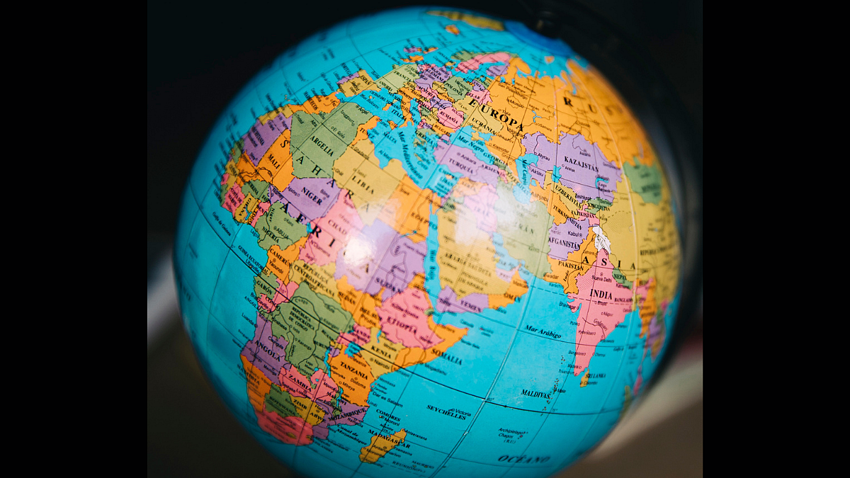
Since the Mercator projection emerged in the 16th century, it has shaped the way the world is perceived, disproportionately highlighting former colonial powers while marginalizing Africa, Asia, and Latin America. However, as geopolitical awareness grows online, there is a growing debate about whether schools should adopt fairer alternatives like the Equal Earth projection.
The Mercator projection, created by Gerardus Mercator in 1569, preserves angles and shapes but severely distorts polar landmasses. This distortion had real geopolitical consequences, as illustrated by Rudolf Kjellberg's 1904 Heartland theorem, which relied on the Mercator projection to inflate Eurasia's pivot region far beyond its true size. This exaggerated representation was rooted in the colonial competition for resources during that era.
In Indian schools, geography teaching often lacks proper training in projection construction and the areas where distortions occur. The Central Board of Secondary Education (CBSE) once had a stronger cartography grounding, but it has since been diluted, and state boards fare even worse. Textbooks often recycle maps from outside agencies, such as the CIA, perpetuating inaccuracies.
Growing up, many are exposed to the Mercator map without questioning its distortions. For example, the map makes Europe and North America appear massive and central, while Africa, South America, and Southeast Asia look smaller and pushed to the edges. This visual representation can subtly reinforce a hierarchy where visual space is interpreted as historical or political importance, a notion that has little basis in reality.
Adopting more accurate projections, such as the Equal Earth projection, can provide a more honest starting point for teaching geography. While the Mercator projection remains useful for navigation, introducing equal-area projections helps students grasp the relative sizes of different regions more accurately. However, it is essential to understand that these changes are not a cure for global inequality but a meaningful signal that can influence how geography and history are taught.
Visual representation carries significant weight today, especially as youth consume information through digital media at a rapid pace. A skewed visual can create a skewed takeaway, even subconsciously. Therefore, incorporating multiple projections in educational settings can help dismantle stereotypes by revealing that a country's visual size is often manipulated, not factual.
Ultimately, while changing the map won't reshape global power dynamics, it is a small but significant step towards fostering a more balanced understanding of the world.
Written by urgent.news from Free Press Journal's reporting — not their text. Machine-written — may contain errors; check the original before relying on it.