New World map puts Africa’s true size into perspective
A United Nations resolution backing the Equal Earth map could change how Africa and other continents are represented in classrooms, media and digital mapping.
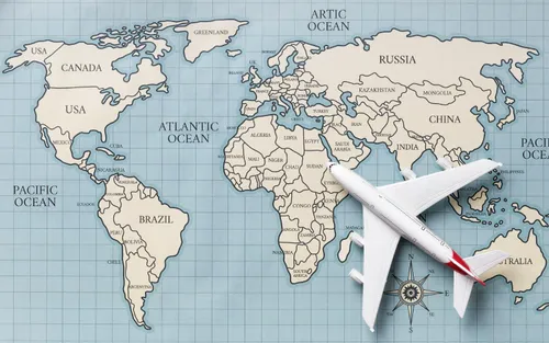
The widely used Mercator projection, which has been a staple in school geography classrooms for centuries, significantly distorts the size of countries and continents, particularly those farther from the equator. Africa, for instance, appears much smaller than it actually is on this map. Covering approximately 30.3 million square kilometres, Africa is roughly 14 times the size of Greenland, a discrepancy that becomes glaring when the two are compared side by side.
The Mercator projection, devised by Flemish cartographer Gerardus Mercator in 1569, was primarily designed to aid navigation by representing lines of constant compass bearing as straight lines. However, this strength comes at the cost of distorting the relative sizes of landmasses, especially as one moves away from the equator. Countries in northern regions, such as Greenland, can appear disproportionately large, while areas closer to the equator, including much of Africa, seem comparatively smaller.
Recognizing the inaccuracies inherent in the Mercator projection, particularly in relation to Africa's true size, the United Nations General Assembly has passed a resolution advocating for greater use of the Equal Earth projection. This map is designed to more accurately represent the relative size of continents while maintaining recognisable shapes.
Developed in 2018 by cartographers Tom Patterson, Bojan Šavrič, and Bernhard Jenny, the Equal Earth projection aims to correct the distortions present in the Mercator projection. It preserves the relative areas of landmasses while keeping their shapes relatively true to life. This means that when viewed on an Equal Earth map, Africa will appear much closer to its actual size, making room for the United States, China, India, and much of Europe within its borders.
Supporters of the Equal Earth projection argue that maps not only shape our understanding of the world but also influence educational curricula and collective perceptions of regional importance. Togo's Foreign Minister, Robert Dussey, emphasized that maps guide education, nourish the imagination, and affect how the world is perceived.
Consequently, Togo has pledged to replace its school geography textbooks with those using the Equal Earth projection by the end of the year, becoming the first country to adopt this new map for educational purposes. Other African Union nations and technology companies are also expected to consider incorporating the Equal Earth projection into their digital mapping and GPS systems.
While the UN resolution, which received overwhelming support from 164 countries, is not legally binding, it represents a significant step toward more accurate cartographic representation. France, which co-sponsored the resolution, announced its intention to shift away from the Mercator projection. However, the US delegation abstained, criticizing the initiative as a distraction from more pressing global issues and objecting to its perceived ideological agenda. Ukraine abstained as well, citing concerns about how the new projection portrays Russian territory.
The UN's vote, while a symbolic milestone, does not immediately mandate a replacement of the Mercator projection in all contexts. Different map projections serve various purposes, and the Mercator projection remains useful for navigation. Nonetheless, the resolution could encourage a broader adoption of the Equal Earth projection in situations where accurately depicting the relative sizes of countries and continents is crucial, such as in classrooms and digital maps.
This change could profoundly impact young minds, presenting them with a more accurate view of the world from an early age.
Written by urgent.news from IOL's reporting — not their text. Machine-written — may contain errors; check the original before relying on it.