UN backs effort to drop Mercator map and show size of Africa more accurately
The United Nations voted on Saturday for a shift away from the 16th-century Mercator global map towards one more accurately reflecting the true size of countries.
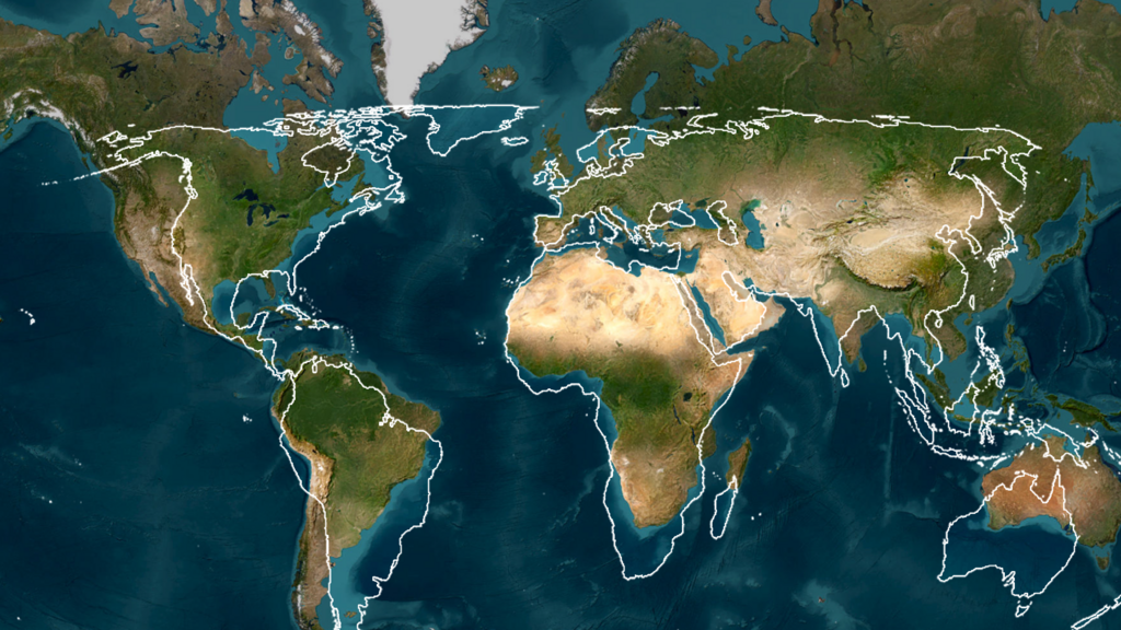
The United Nations has voted to move away from using the 16th-century Mercator global map, which does not accurately reflect the true size of countries. A resolution was passed by 164 votes to one, with six abstentions, encouraging member states, schools, publishers, and tech firms to use maps that keep land masses in more or less true proportion.
The resolution, introduced by Togo on behalf of the African Union, aims to correct the distortion of Africa's size on commonly used world maps. According to Euro Weekly News, the US was the sole country to vote against the resolution, while Estonia, Georgia, Lithuania, Moldova, Serbia, and Ukraine abstained.
The new map, such as the 2018 Equal Earth projection, will show the size of continents, particularly Africa, more accurately. This change does not alter country borders or physically move any land masses, but rather how comparatively big each continent appears on a flat page.
Brief written by urgent.news from RFI English, Euro Weekly News, Capital FM Kenya — 3 reports on this story. Machine-written — may contain errors; check the original before relying on it.
This story
This is one outlet's version. Read the fullest account.