Weekend to bring unseasonable heat, thunderstorms, flooding and snow
A powerful front will generate a smorgasbord of wild weather across eastern Australia this weekend.
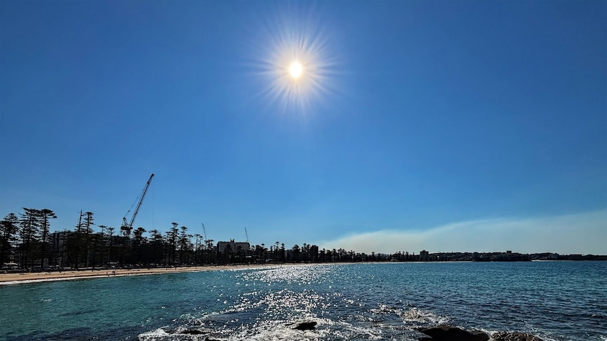
A powerful front is set to bring a mix of extreme weather conditions to eastern Australia this weekend. Temperatures in Brisbane and Sydney could reach record highs for early September, with Brisbane potentially hitting new highs and Sydney's temperatures potentially matching its midsummer average of 26.4 degrees Celsius. Wind gusts and thunderstorms are expected in parts of New South Wales, South Australia, and Victoria, while flooding rains may hit northern Victoria and northern Tasmania.
Snowfall is also predicted across the Alps. After unprecedented winter warmth, the start of spring has also been unusually hot, with Sydney's maximum temperatures through the first five days of September on track to reach the city's average for midsummer. Strong north-westerly winds are expected to draw the front south from the tropics, leading to high temperatures and the potential for fire danger to spike.
Cooler air will eventually arrive overnight, but in the meantime, temperatures in southern Queensland and Sydney are expected to peak in the mid-30s Celsius, with a slight chance of setting records for early September. Meanwhile, the front has already made landfall on the South Australian coast and is rapidly moving east, causing wind gusts to strengthen and activating warnings in multiple states.
The system is expected to bring isolated thunderstorms to central and eastern Victoria and along the NSW central and southern slopes and ranges, with isolated moderate flooding possible in areas of higher rainfall in north-east Victoria. Snowfall is also expected across the higher Alps, but too late to save the ski season, which has seen the worst natural snow cover on record for early spring.
Written by urgent.news from ABC News AU's reporting — not their text. Machine-written — may contain errors; check the original before relying on it.