US opposes UN adoption of map showing Africa’s true size
The UN General Assembly on Friday backed a resolution calling for a shift away from the traditional Mercator projection of the world, with the US opposing the measure. The resolution, put forward by Togo and backed by the African Union, passed with 164 votes in favour, six abstentions and a single vote against by the US. It encourages UN member states, international organisations and others to…
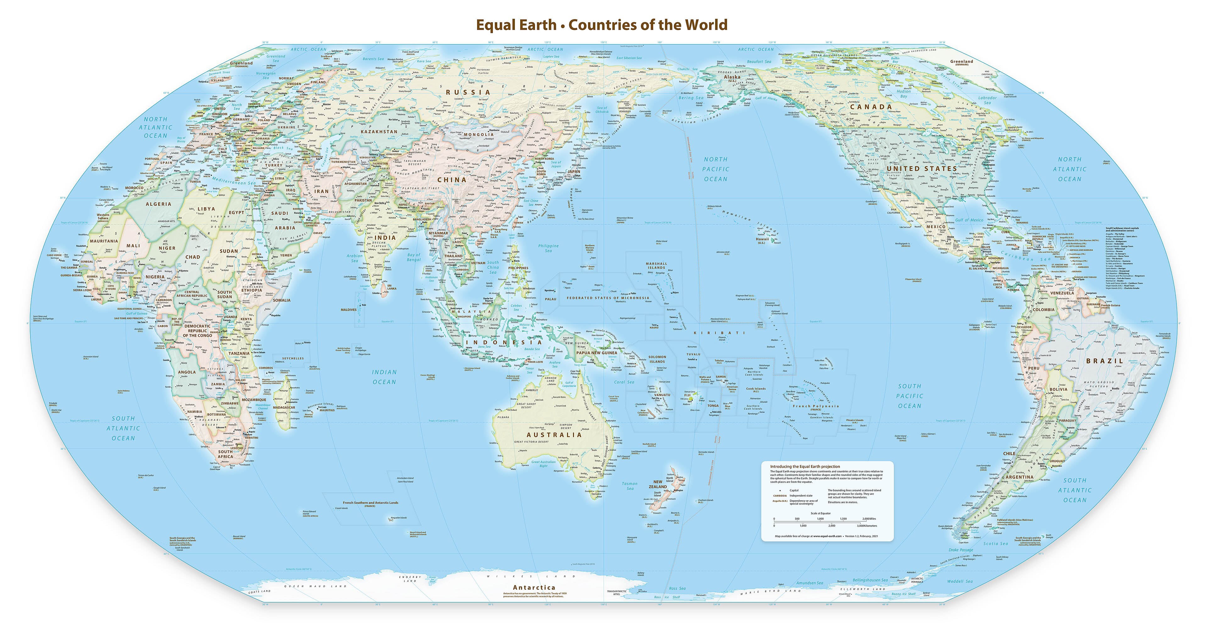
The United Nations General Assembly recently backed a resolution urging a shift away from the Mercator projection, a traditional map-making method, with the United States opposing the measure. The resolution, proposed by Togo and supported by the African Union, saw 164 votes in favor, six abstentions, and one vote against, cast by the United States.
It encourages member states, international organizations, and other entities to promote maps that more accurately portray the relative sizes of continents, particularly Africa. The Mercator projection, created in the 16th century and still widely used, distorts the size of land masses, especially those near the poles, making Africa appear smaller relative to regions like Europe and North America.
Togo's Foreign Minister Robert Dussey stated that the resolution's persistence in maps has historically contributed to minimizing Africa's size and creating an unbalanced view of global geography. The resolution also calls for cooperation among UN bodies, regional organizations, academia, think tanks, and technology groups to enhance national mapping capabilities, particularly in developing countries and Africa.
However, the United States, represented by Ambassador Mike Waltz, criticized the resolution as an ideological exercise that undermines the UN's credibility, arguing that it should focus on international peace rather than map projects. Ukraine, represented by UN envoy Andriy Melnyk, abstained from the vote due to concerns about the Equal Earth cartographic projection used in the resolution, as it depicted parts of Ukraine temporarily occupied by Russia, violating principles of sovereignty and territorial integrity.
Written by urgent.news from The National UAE's reporting — not their text. Machine-written — may contain errors; check the original before relying on it.
This story
This is one outlet's version. Read the fullest account.
- US opposes UN adoption of map showing Africa’s true size thenationalnews.com
- UN ditches Mercator map to adopt more accurate one reflecting Africa's true size france24.com
- UN backs African-led push for world maps that show Africa’s size more accurately peopledaily.digital
- UN approves resolution in support of map that shows Africa’s true size myjoyonline.com
- UN adopts proposal for new world map showing Africa’s true size punchng.com
- UN votes to adopt new world map that shows true size of Africa premiumtimesng.com
- France drops Mercator maps as Africa pushes for truer world view rfi.fr
- UN votes to adopt new world map that reflects Africa’s true size aljazeera.com