CAQM in talks with Punjab, Haryana to improve stubble burning estimation protocol
“While the fire counts reported from satellite passes may not be the most accurate picture of the extent of farm fires, we are in talks with ISRO to have better ‘ground truthing’ protocols,” says Rajesh Varma, CAQM chief
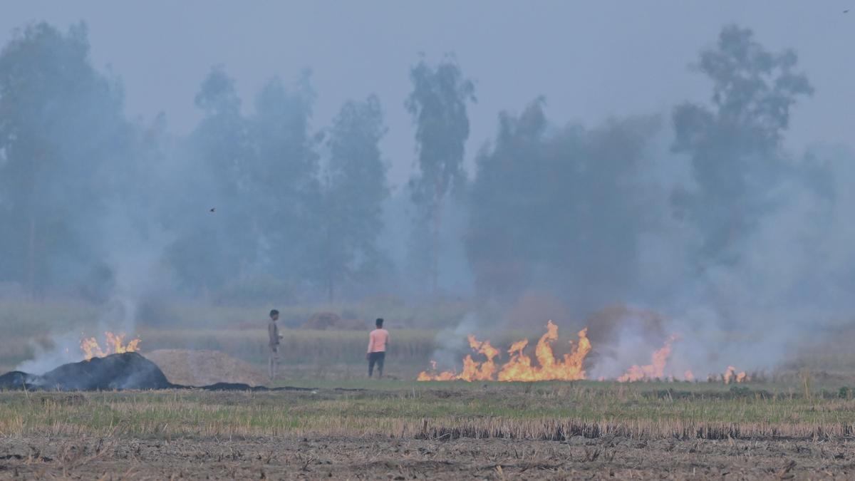
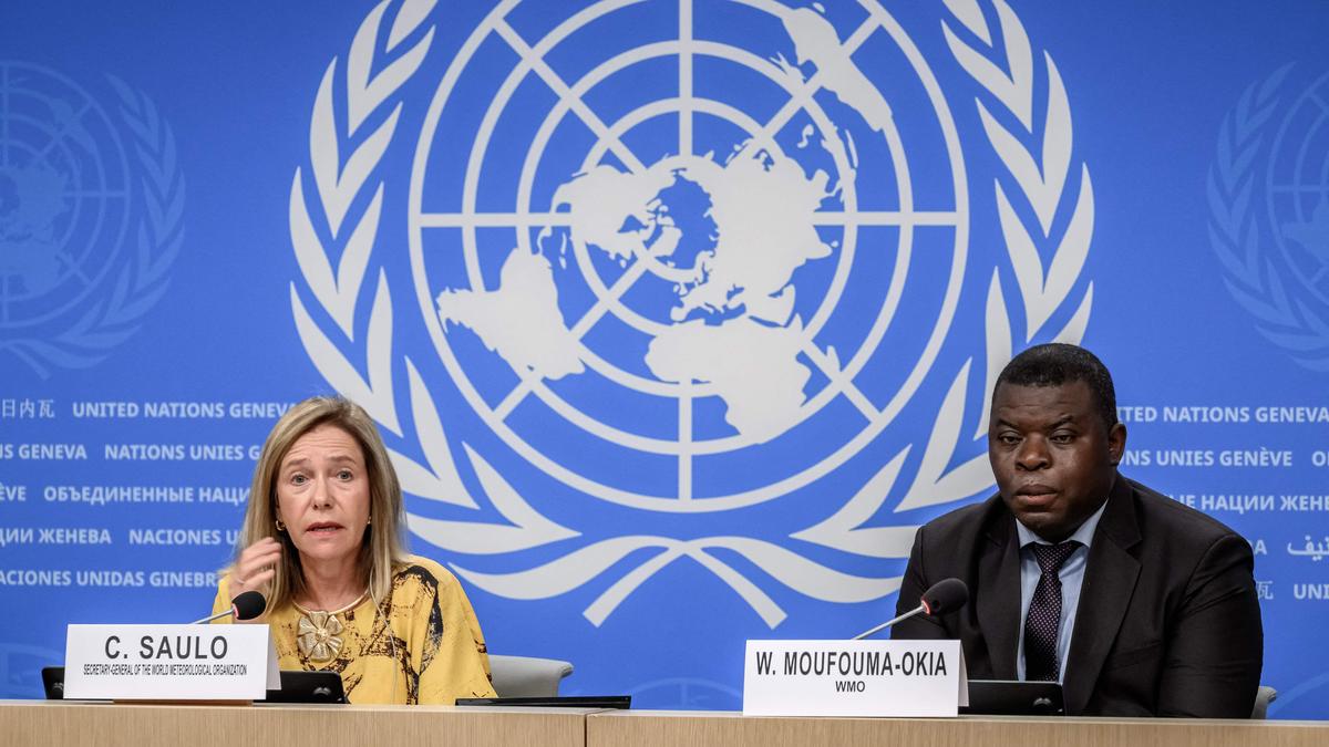
The Commission for Air Quality Management in NCR and Adjoining Areas (CAQM) is engaging in talks with authorities from Punjab and Haryana to refine the estimation protocol for stubble burning. While satellite fire counts may not provide an accurate depiction of the extent of agricultural fires, CAQM is collaborating with the Indian Space Research Organisation (ISRO) and Punjab to establish improved "ground truthing" protocols. Rajesh Varma, CAQM's Chairman, expressed this during a press briefing on September 3, 2026.
Stubble burning in Punjab is a significant source of pollution during October and November, particularly when monsoon withdrawal hinders the dispersion of particulate matter from various pollution sources, including vehicle emissions, industry, road dust, agricultural waste, and fireworks for the festival of Deepavali. During this period, paddy residue left after harvest is often burned to facilitate the sowing of wheat, a cost-effective and rapid method.
Over an entire winter, farm fires account for no more than 15% of particulate matter pollution but can surge to nearly 44% during certain weeks, as indicated by multiple studies.
CAQM's statement follows growing evidence since 2024 suggesting that the Punjab government's claims of a 90% reduction in farm fires since 2021 have been overstated. This is due to the method of counting fires using two satellites throughout the day and encouraging farmers, who risk fines for fire-setting, to burn stubble in the evenings.
An ISRO Space Applications Centre study revealed a gradual shift in peak fire activity from 1:30 p.m. in 2020 to around 5 p.m. in 2024 to evade detection by polar-orbiting satellites. In 2025, iForest used data from a different satellite to calculate "burnt area," the actual land area affected by fire, finding that the reduction was more modest, approximately 30%, decreasing from 31,500 square kilometers in 2022 to 19,700 square kilometers in 2025.
Varma emphasized that determining a protocol is "complicated" because while burnt area can offer a better estimate of burned acreage, it is not always a precise measure of particulate matter emissions from burning. Factors such as satellite sensor resolution, straw quantity, moisture, combustion efficiency, and per-pollutant emission factors influence pollution levels, which satellites cannot measure.
CAQM has requested ISRO to provide a fundamental protocol this year to begin obtaining a more accurate estimate than fire counts.
Written by urgent.news from The Hindu - Sci-Tech's reporting — not their text. Machine-written — may contain errors; check the original before relying on it.