The Himalayas are getting more dangerous because of climate change, and the Nepal-Tibet landslide and flood could be proof
WASHINGTON, Aug 27 — The cause of the deadly landslide and flood along the Nepal-Tibet border isn’t yet cert...
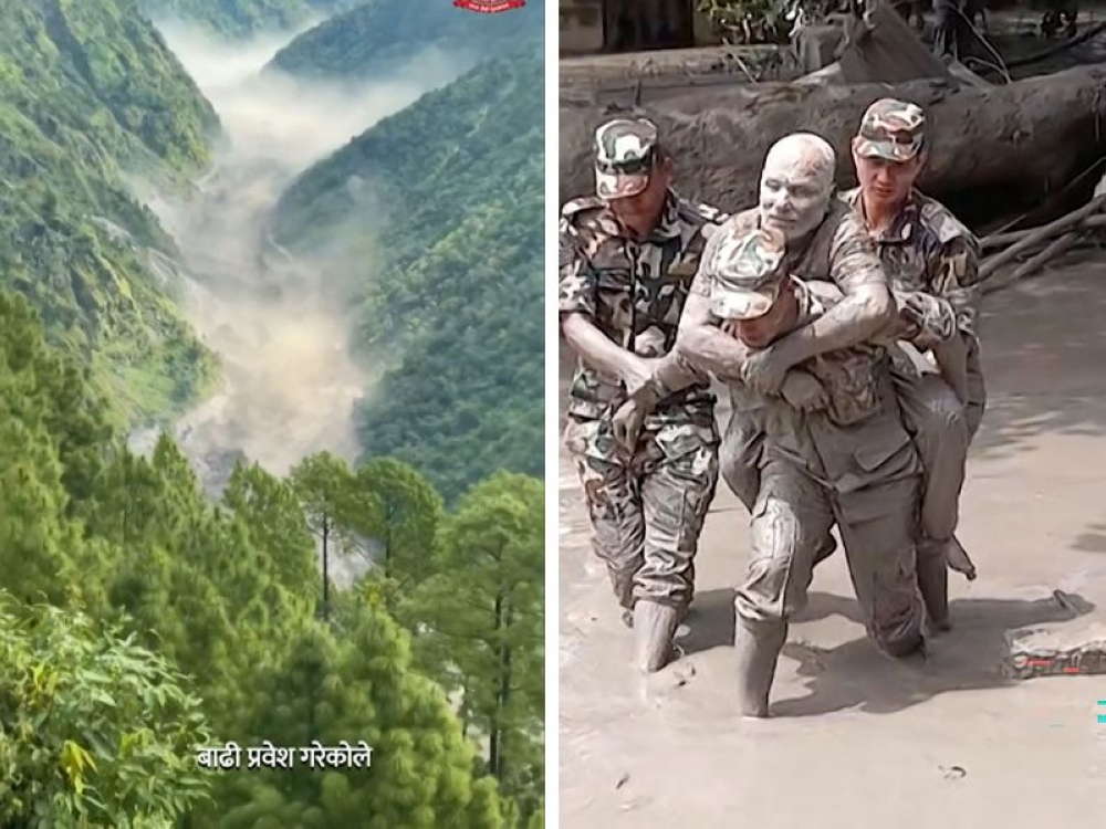
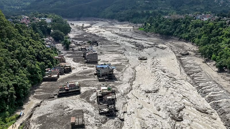
On August 27, the source reports that at least 165 people were killed and entire villages were destroyed by a landslide and flood along the Nepal-Tibet border. The cause of the disaster remains uncertain, but experts suggest that the dangers associated with such events are exacerbated by the region's extreme topography and climate change.
Glacial lake outburst floods (GLOF), which involve the sudden release of water from melting glacier-fed lakes, pose a significant risk in the region. The flash floods and landslides overwhelmed buildings and vehicles, forming a "wall of mud" that was impossible to outrun. Nepal's Foreign Minister Shishir Khanal initially suspected an earthquake caused the disaster, but the US Geological Survey later determined that it was actually a glacial collapse and debris flow.
Dorothy Heinrich, a researcher at the University of Reading, explained that the Himalayas are experiencing climate change trends such as heat waves, glacial retreat, and permafrost reduction. Attribution studies are conducted to determine if an event is linked to climate change, but such analyses require extensive simulations comparing the event's likelihood in today's climate to the pre-industrial era.
In July 2025, a similar glacial outburst flood occurred in China's Gyirong County, and the water surged into Nepal's Rasuwa District. Initial assessments by the International Centre for Integrated Mountain Development (ICIMOD) found no anomalies on the Chinese side of the border, but they believe that a rock-ice avalanche occurred in Nepal, blocking the Lhende river and causing the flooding.
Hydrologist Hatim Sharif noted the absence of rainfall before the disaster, making traditional flood warning systems ineffective. The only way to survive such an event is to climb a hill at least 20 feet (six meters) above the flood level, according to Sharif. One potential long-term solution could be installing real-time river level gauges to provide residents with a 20-30 minute warning before a flood, warned Qianggong Zhang, head of climate and environmental risks at ICIMOD.
Written by urgent.news from Malay Mail's reporting — not their text. Machine-written — may contain errors; check the original before relying on it.