Scientists find clues in satellite imagery to the cause of catastrophic floods in Nepal and Tibet
Rescue teams in Nepal and Tibet are searching for missing people following catastrophic floods that struck the border region on Wednesday. Scientists are reviewing satellite imagery to determine the cause and assess the devastation. Geomorphologists Kristen Cook and Dan Shugar found that a glacier had broken off from the Langtang Lirung peak, near the border with Tibet.
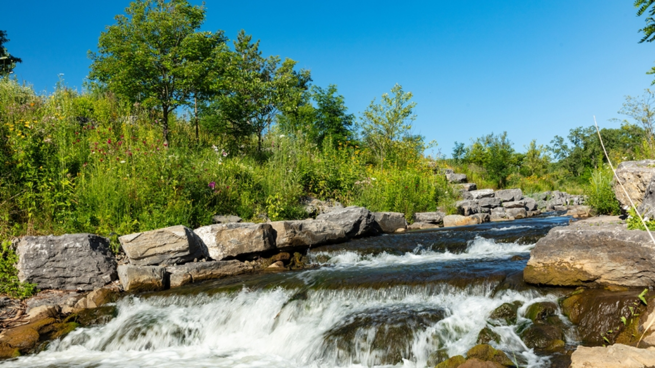
The bedrock underneath the glacier had also collapsed, sending boulders and ice into the valley. After slamming into the valley floor, the debris maintained its momentum and swept through communities, burying villages under debris and mud. The Trishuli River surged and overtopped its banks, carrying a large amount of sediment full of mud.
Towns and villages along the river banks are now submerged in debris and mud. The flooding is likely related to climate change, as permafrost is melting and destabilizing mountainsides, causing slopes to fail and landslides to occur.
Written by urgent.news from Winnipeg Free Press's reporting — not their text. Machine-written — may contain errors; check the original before relying on it.