Before and after Nepal flash flood: Satellite images show scale of destruction
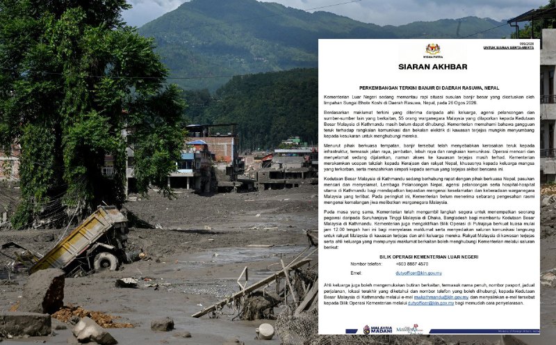
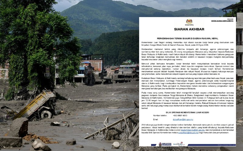
A catastrophic flash flood in Nepal on Wednesday swept away villages in the northern part of the country, claiming at least 160 lives and causing extensive damage. Hundreds are still missing across Nepal and Tibet, as the Bhote Koshi River, originating from Tibet, inundated numerous areas in Rasuwa, Nuwakot, and Dhading districts.
Reports from the disaster-stricken regions and the National Disaster Risk Reduction and Management Authority revealed that the raging river carried many settlements across a 60-kilometer road from Xylong in Tibet, China, down to Rasuwa, Nuwakot (Trishuli), and Dhading. The Bhote Koshi merges with the Trishuli River in Rasuwa. The flood wreaked havoc on Timure and Syapru Besi in Rasuwa district, with villages, market areas, and infrastructure projects reduced to rubble.
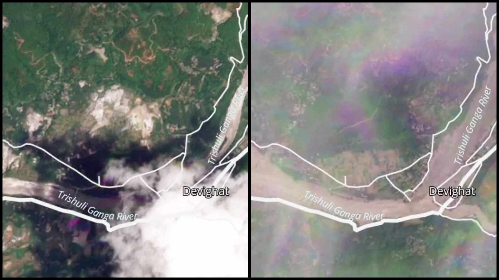
Authorities have cautioned residents along the Bhote Koshi and Trishuli rivers to evacuate to safer ground as floodwaters continue to flow downstream. In a bid to illustrate the extent of the devastation, the National Disaster Risk Reduction and Management Authority has shared satellite images of before and after the floods obtained from PlanetLab.
These images, analyzed based on the satellite analysis, show the impact of the landslide and subsequent flooding in the Himalayan region between Nepal and China.
Written by urgent.news from The Indian Express's reporting — not their text. Machine-written — may contain errors; check the original before relying on it.
This story
This is one outlet's version. Read the fullest account.
- Malaysia ready to deploy military expertise for Nepal flood relief, says Defence Minister thevibes.com
- Ramesh and Neelam Sharma: US citizens missing in Nepal flood as daughter makes urgent plea for help hindustantimes.com
- Nepal rescuers search for survivors of devastating flood; 162 dead sabcnews.com
- ‘Your command over language…’: Shashi Tharoor’s Nepal flood Post sparks backlash indianexpress.com