7.7 magnitude earthquake strikes off Indonesia coast; tsunami alert issued
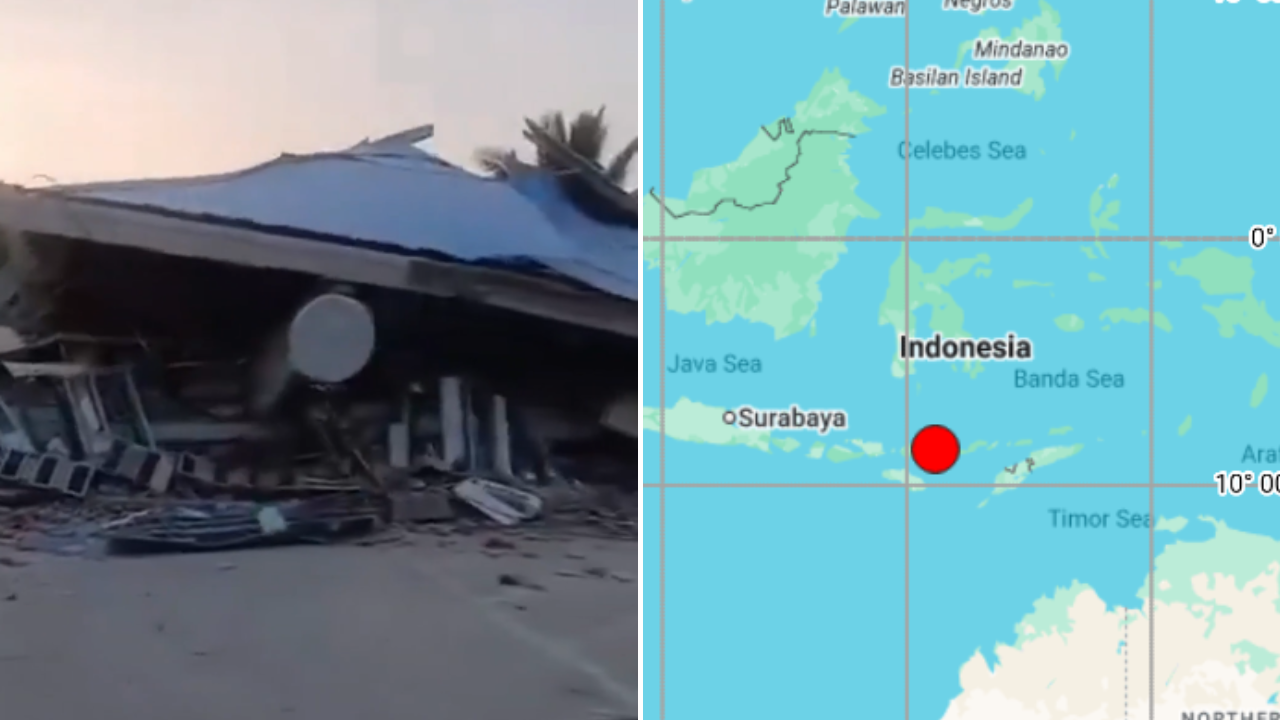
A powerful 7.7-magnitude earthquake struck the Flores region off the coast of Indonesia on Saturday morning, according to the US Geological Survey (USGS). The epicenter of the quake was located at 8.557°S latitude and 121.181°E longitude, with the tremor occurring at a depth of approximately 10 kilometers. The initial magnitude reported by the European-Mediterranean Seismological Centre (EMSC) was 6.9, but was later revised to 7.6.
Following the earthquake, a tsunami warning was issued for parts of East Nusa Tenggara, as reported by the meteorological agency BMKG. Although reports suggested that buildings may have been damaged on the island, these claims had not been independently verified. Indonesia, situated along the Pacific "Ring of Fire," is one of the world's most earthquake-prone nations due to its location along a zone of intense seismic and volcanic activity.
The archipelago, consisting of over 17,000 islands, frequently experiences earthquakes and volcanic eruptions.
Written by urgent.news from Times of India's reporting — not their text. Machine-written — may contain errors; check the original before relying on it.
This story
This is one outlet's version. Read the fullest account.
- Magnitude 7.7 earthquake strikes off coast of Indonesia; tsunami warning issued koreatimes.co.kr
- Powerful earthquake strikes off coast of Indonesia; tsunami warning issued thevibes.com
- A magnitude 7.7 earthquake strikes off coast of Indonesia, USGS says abcnews.com
- Breaking: Magnitude-7.8 earthquake strikes off coast of Indonesia abc.net.au
- 7.7 Magnitude Earthquake Strikes Off Indonesia Coast, Tsunami Warning Issued ndtv.com
- Indonesia: Strong earthquake hits off coast of Flores island dw.com
- A magnitude 7.7 earthquake strikes off coast of Indonesia, USGS says winnipegfreepress.com
- 7.7 magnitude earthquake hits off coast of Indonesia indianexpress.com