California lost 1.3M Joshua trees in 2020 Dome Fire; new software aids recovery
California scientists developed digital tools to map fire damage in the Mojave National Preserve. These new software programs help park managers focus restoration work on vulnerable desert plants. The tools assist in assessing post-fire conditions and developing recovery plans for affected areas. Scenario modeling directs limited conservation resources to high-elevation climate refugia for Joshua…
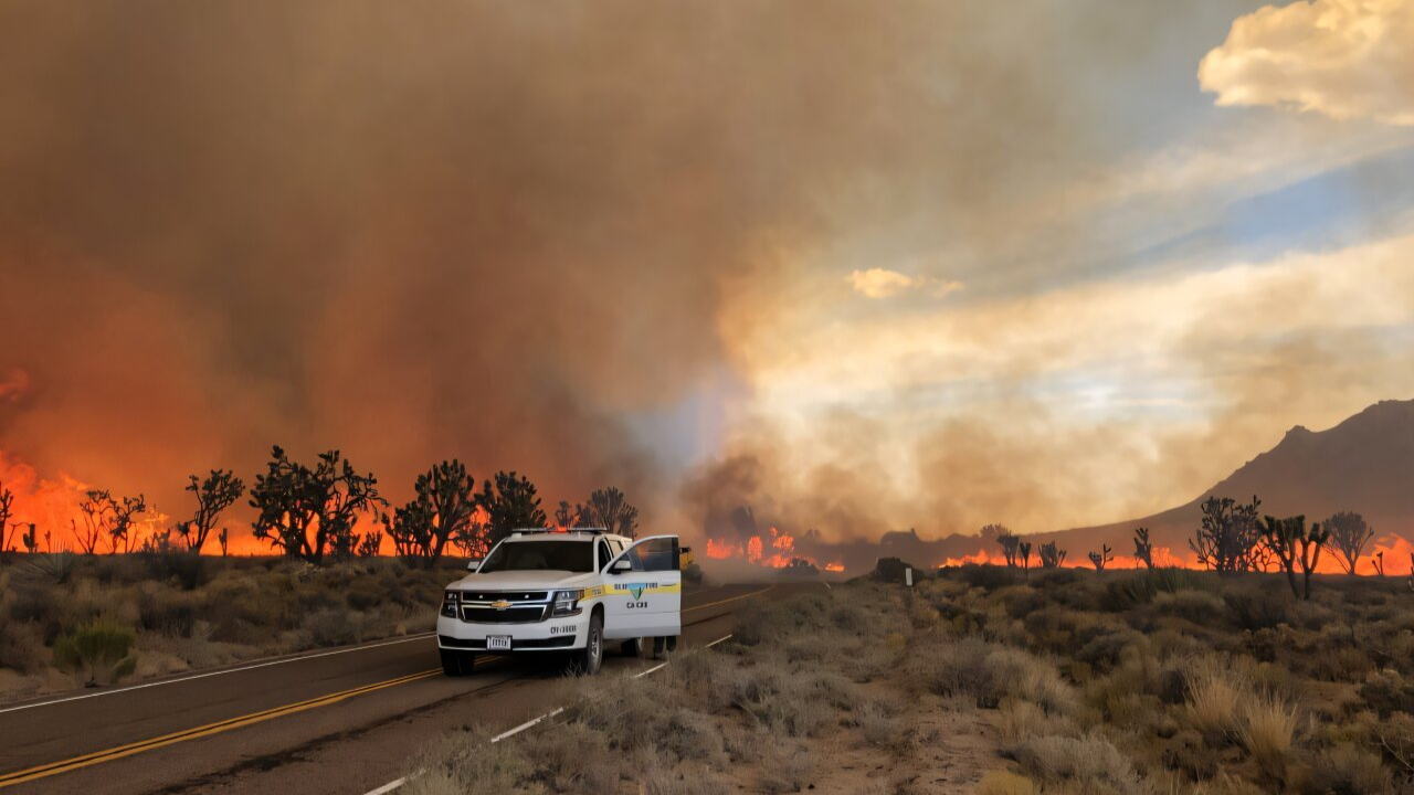
California suffered a staggering loss of up to 1.3 million Joshua trees during the 2020 Dome Fire in Mojave National Preserve. In response, scientists at the University of California, Berkeley, in collaboration with the U.S. National Park Service, have developed digital recovery tools to aid in the restoration of these fragile desert plants. These tools help park managers quickly assess fire damage and prioritize restoration efforts in areas where Joshua trees have the highest chance of survival.
UC Berkeley researchers Maya Zomer and Lucia Layritz first observed the aftermath of the 2020 fire, noting the stark, dystopian landscape of the burned Mojave National Preserve. While some signs of life emerged, such as green shoots and wildflowers, the drought-stricken plants face significant challenges in surviving climate change pressures. Joshua trees, which can grow up to 40 feet tall and live over 100 years, typically take 70 years to reach reproductive maturity.
Invasive grasses exacerbate the problem, creating a dense layer of dry fuel that fuels intense fires. Human activities, including recreational camping, are the primary cause of these fires. The frequency and severity of these fires have increased dramatically in recent years within the Mojave Desert.
Standard satellite images are ineffective in assessing desert fire damage, as sparse vegetation and rocky terrain obscure the differences between burned and healthy areas. The Berkeley team addressed this challenge by creating the Disturbance Severity Tool, a mapping program tailored for desert environments. This software quickly maps fire damage and provides vital information to park managers, enabling them to apply for federal funding for restoration efforts.
The tool was used following two recent fires in Joshua Tree National Park, the Eureka Fire and the Black Rock Fire, to evaluate fire severity and develop recovery plans.
In addition to mapping fire damage, the Berkeley team developed a scenario modeling platform called Josh. This interactive website allows park managers to test various long-term restoration strategies before implementing them in the field. Josh focuses on high-elevation "climate refugia" areas that are expected to provide the best long-term habitat for Joshua trees as global temperatures rise.
The software helps identify the most critical areas for restoration efforts, ensuring that limited conservation resources are used efficiently.
By combining immediate burn maps with the Josh simulation platform, field teams can make data-driven decisions about where to allocate their resources for the greatest ecological benefit. The research center aims to further improve the software so that local park officials can run recovery models on their own as future wildfires occur.
Written by urgent.news from Times of India's reporting — not their text. Machine-written — may contain errors; check the original before relying on it.