Google Earth’s New AI Lets Anyone Fabricate Completely Bullshit Satellite Images
"Tonight I typed just one sentence into Google Earth and put refugees near the Mexican border. Then I planted a nuclear plant in Iran. Then I put a fatal crash on a street in Amsterdam."
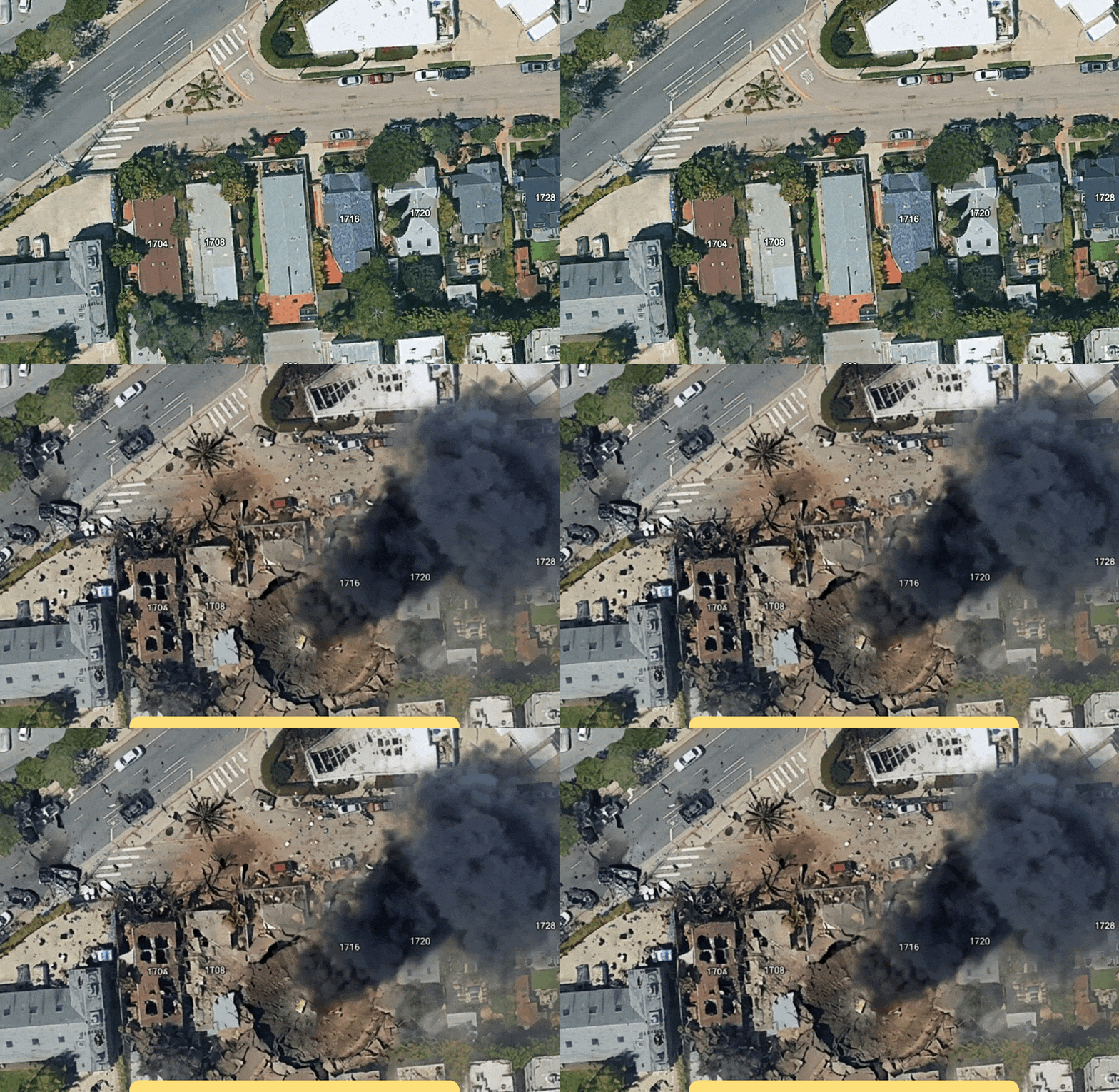
Google Earth, a widely trusted source of global satellite imagery, recently introduced an AI-powered feature that allowed users to generate fabricated satellite images of any location worldwide. The tool, powered by Google's Nano Banana 2 model, quickly sparked controversy after being used to create images depicting terror attacks and other forms of misinformation.
Google Earth is a trusted source for global satellite imagery, but its new AI feature for generating fake images has raised serious concerns. The company's quick pullback of the feature highlights the dangers of AI-generated misinformation and the challenges of verifying the credibility of satellite imagery.
Written by urgent.news from Futurism's reporting — not their text. Machine-written — may contain errors; check the original before relying on it.
This story
This is one outlet's version. Read the fullest account.